Aavasaksa - where Finland meets Sweden: Nature and History
Due to Aavasaksa's distinctive elevation above other nearby hills, it was first used by Pierre Louis Maupertuis in the French Geodesic Mission (1736–1737), and…
Operated by Helios tour
Overview
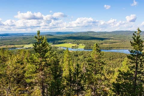
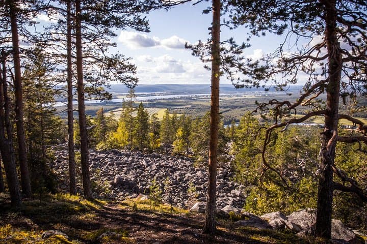
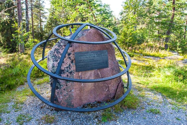
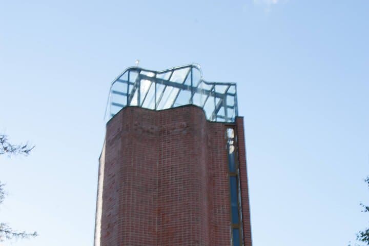
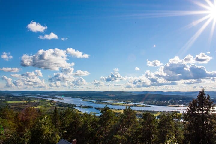
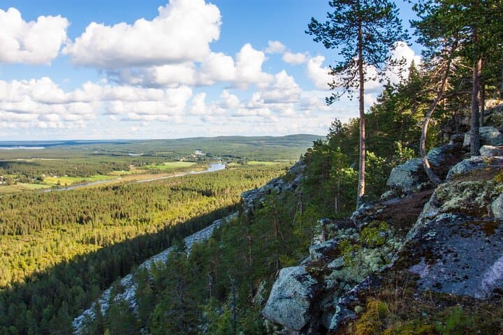
Due to Aavasaksa's distinctive elevation above other nearby hills, it was first used by Pierre Louis Maupertuis in the French Geodesic Mission (1736–1737), and later became part of the Struve Geodetic Arc. As a result of this, UNESCO named Aavasaksa a World Heritage Site, along with the 33 other sites used in the Struve Geodetic Arc. Aavasaksa is often considered the southernmost point in Finland where the midnight sun is literally visible. The hill is surrounded by rivers running next to it: Torne River to the west and the smaller Tengeliö river to the east and north. Övertorneå or Ylitornio is a locality and the seat of Övertorneå Municipality in Norrbotten County, Sweden with 1,917 inhabitants in 2010. Övertorneå means Upper Torneå, based on a division of the Torneå parish in two parts in the 16th century. We will see old church, the building of old railway station and very nice landscape.
What’s included
- Transfer, guiding service, BBQ on the fire.
Photos
Getting there
Flying to Finland?
Compare flights from hundreds of airlines and travel agents in one search, so you can book your trip and your tours in the same place.
- Compare all airlines
- Flexible dates
- Price alerts
Searched on Trip.com. We earn a commission at no extra cost to you.
Staying over
Staying in Finland?
Compare hotels and places to stay in Finland, from budget guesthouses to design hotels, all in one search.
- Compare hundreds of properties
- Free cancellation on most stays
- Real guest reviews
Searched on Trip.com. We earn a commission at no extra cost to you.
Getting around
Leaving Helsinki? Compare HEL car hire
Helsinki-Vantaa (HEL) first — Porvoo, Turku or the lakes. Rovaniemi (RVN) if Lapland is the trip. Free cancellation on most bookings.
- Compare all suppliers
- Free cancellation
- 24/7 support
Booked on DiscoverCars.com. We earn a commission at no extra cost to you.